 GoFrog
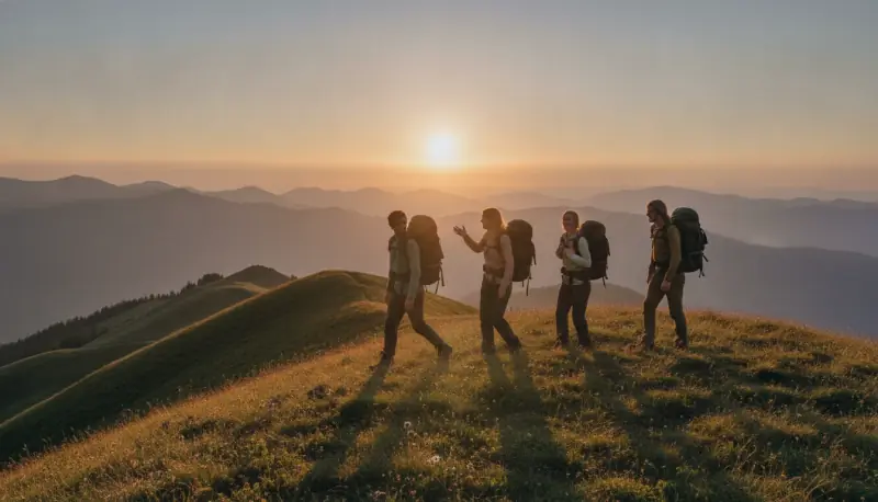
Mountain trip
From voting on dates to the last climb. Know where you are going, what awaits on the ridge and the latest time to leave.
Plan a mountain tripA route the whole crew knows
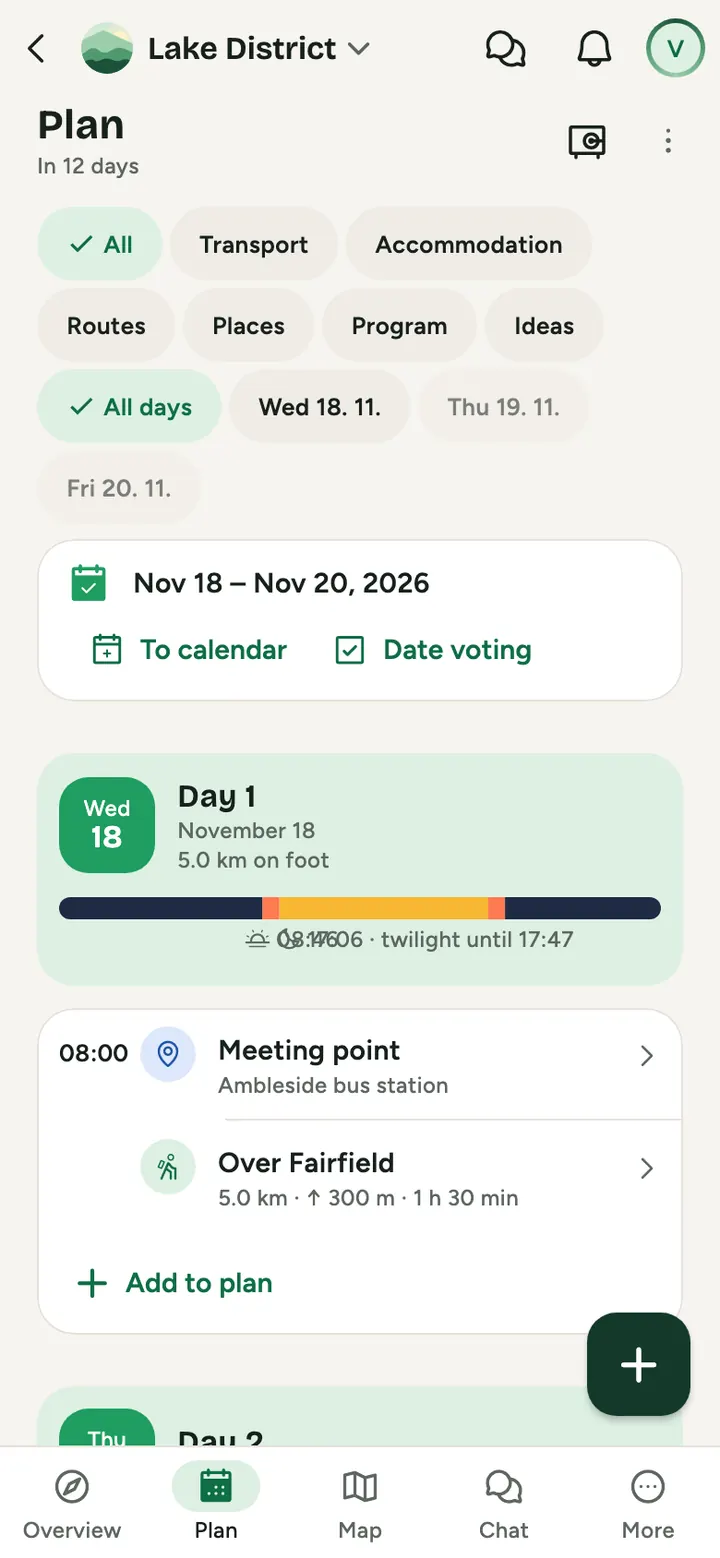
Plan it by tapping the map or upload a GPX. Everyone sees distance, ascent, elevation profile and stops.
Weather where you will be
A forecast along the route for when you get there. Learn about ridge wind at home, not on top.
When it gets dark
Sunrise, sunset and dusk by place and date, plus the latest time to leave and when to get the headlamp out.
One tent, at least one stove
Shared gear with who carries what and how much it weighs. A meal plan and how much water to carry on a dry stretch.
Sample route
Try it
Change when you set off, how long you stay at the hut, or route via the viewpoint. The app works this out for every route.
- Length
- 11.2 km
- On the way
- 3 h 20 min
- Stops
- 40 min
- Total
- 4 h
- Route ends around
- 13:00
The whole route in daylight. Sunset at 16:35.
A sample route with made up numbers. The app estimates time from length, climb and stops.
Weather on the route
Weather where you will be, not where you are
A forecast along the route for when you plan to get there. The ridge can be having a very different day than the car park.
- 8°9 am
- 11°11 am
- 9°1 pm
- 7°3 pm
- 5°5 pm
Daylight
Know when it gets dark, before it does
For each day we calculate dawn, sunrise, sunset and dusk by place and date. The route length then tells you the latest time to leave.
- Dawn
- 6:31 am
- Sunrise
- 7:02 am
- Sunset
- 4:05 pm
- Dusk
- 4:40 pm
When darkness comes
Get your headlamp out in time
If your route ends after dusk, the app tells you in advance and the headlamp shows up on the day and on the map. Without signal too.
Common questions
Does it work without signal in the mountains?
Yes. Save for the trip stores the program, routes, documents and nearby map, and the emergency card works too.
Can I bring a route from another app?
Yes, upload a GPX from your watch or another app and download it again.
Try it on your next mountain trip
Create a plan and send the link to anyone you like. It takes a minute.
Plan a mountain trip